Fuel reduction target threatens significant landscapes
A Victorian Government bushfire policy is set to drastically change the character of some of the significant landscapes classified by the National Trust, and the period for public comments is open until 31 August.
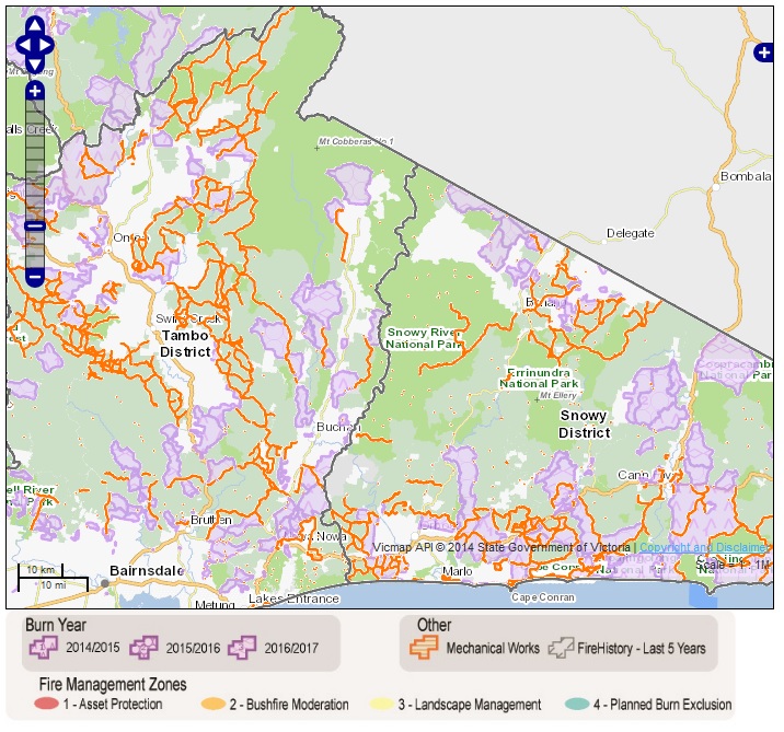
The Royal Commission for the 2009 Black Saturday bushfires set a blanket target of burning 5% of Victoria’s public land every year, in an attempt to reduce fuel loads which threatened life and property. The decision was lamented by the environmental industry, who thought it obvious that remote parks would shoulder the majority of the burden, returning little benefit to Victorians in terms of fuel reduction in proximity to residences, and potentially having disastrous results on the biodiversity of these remote areas. The picture above shows areas of East Gippsland proposed for burning in 2014-2017 – which will have minimal benefits for hazard reduction around residences and have the potential for drastic consequences for largely intact ecosystems. For example, Coopracambra National Park is part of the Mt Kaye-Mt Coopracambra Significant Landscape classified by the Trust. The Coopracambra National Park is described by Parks Victoria as being:
“in one of the most remote sections of Victoria and remains largely undisturbed. The red sandstone gorge of the Genoa River and the surrounding granite peaks form some outstanding scenery. The park is of high conservation value with its undisturbed ecosystems, a heritage river, rare flora and fauna and diverse landscape.”
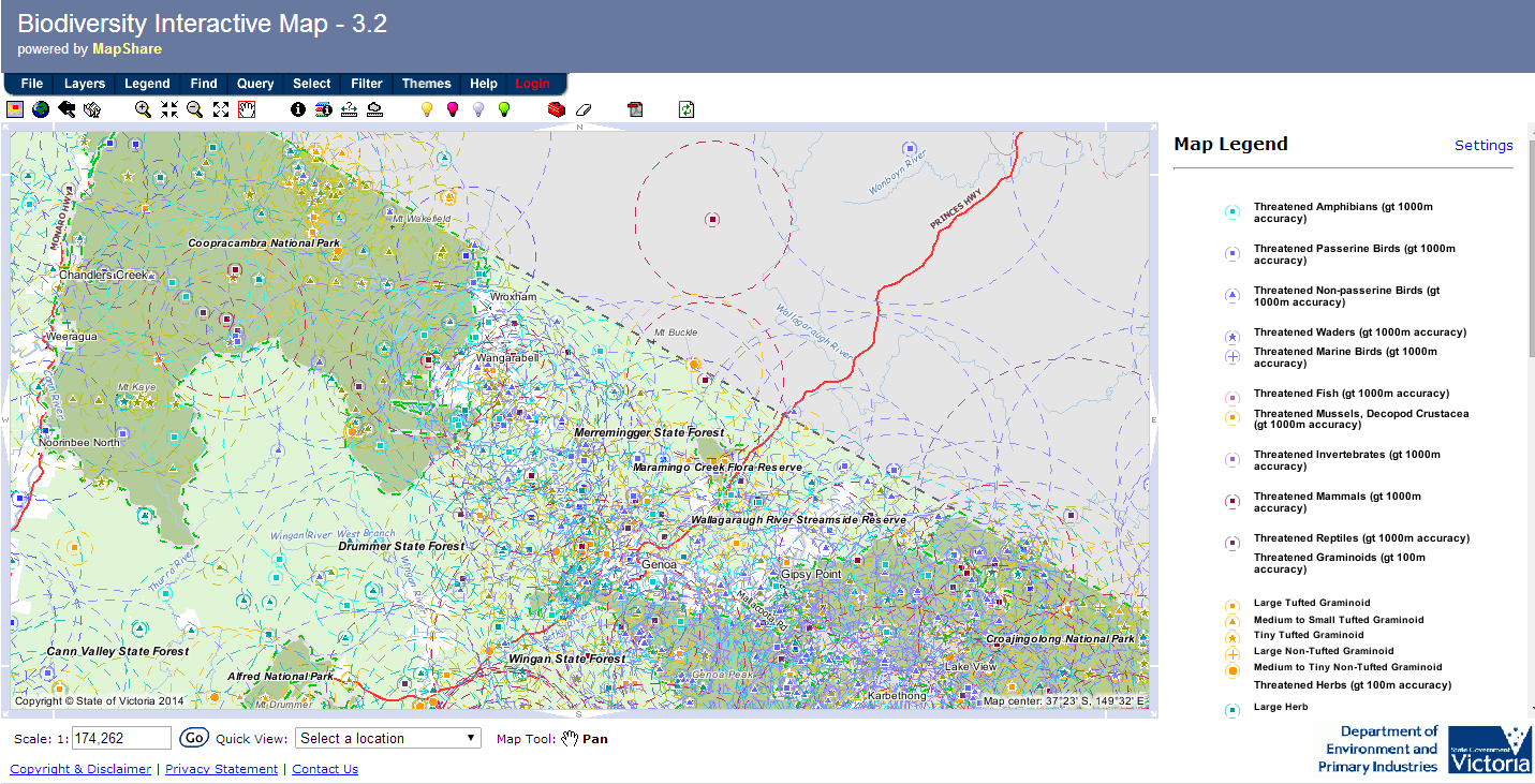
Approximately one-third of the 38,800 ha Coopracambra National Park is due to be burned in 2016-2017. Regional DEPI and Parks staff on the ground planning the burn will take due care to avoid known populations of threatened species, however the historic survey effort in Coopracambra NP appears to have been low (see this map comparing threatened species records in Coopracambra NP & Croajingolong NP). It is likely that many populations are present of which we have no knowledge, making avoiding them or their habitat an impossible task.
However, it is not just East Gippsland which is undergoing fuel reduction. The Mallee woodlands in north-west Victoria are also shouldering the burden of the burn target. The Mallee Fire and Biodiversity Team at LaTrobe University, wrote today on The Conversation:
“Scientists from the Department of Environment and Primary Industries have estimated that less than 3% of the statewide risk to life and property is located in the Murray Mallee region. Yet 16.9% of the planned burning by area in 2012-2013 occurred there. Conversely, although the more populated areas closer to Melbourne accounted for 31% of risk, only around 1.6% of planned burning took place in that region.”
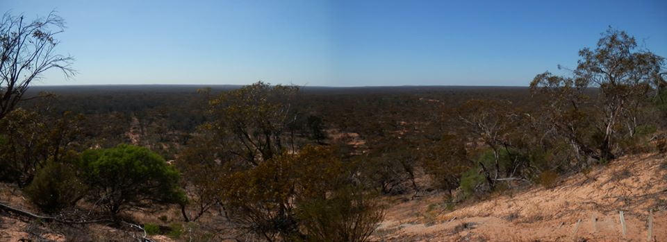
Expansive mallee woodland from Mt Crozier, Murray Sunset NP (Photo: A.Foley)
The Latrobe team point out that if 5% of the Mallee is burned each year, we are unlikely to have any stands over 20 years old by 2030, and explained why this will have disastrous results for mallee fauna:
We found that these older stands of mallee vegetation are critical to many animal species. A number of species of reptiles, small mammals and particularly birds had clear preferences for sites of 30-100 years post-fire.
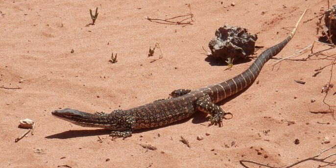
Sand Goanna, Murray Sunset NP (Photo: A.Foley)
The full article, which is referenced with links to peer-reviewed journal articles and a few pics of cute mallee mammals, is definitely worth a read at https://theconversation.com/burnoff-policies-could-be-damaging-habitats-for-100-years-30240 , and if the article piques your interest, the Fire Operations Plans for 2014/15–2016/17 are now available for public comment during August.
In 2013, the National Trust reviewed the maps briefly and made a submission on burns likely to change the character of a significant landscape classified by the Trust. Further, we noted a handful of areas where areas of contiguous native vegetation would be burnt in consecutive years, burning entire areas of habitat without connections for wildlife dispersal. For example, just west of Mansfield in north-east Victoria is a reserve named The Paps, which is a large isolated ‘island’ remnant of woodland covering two hills in an otherwise pastoral landscape.
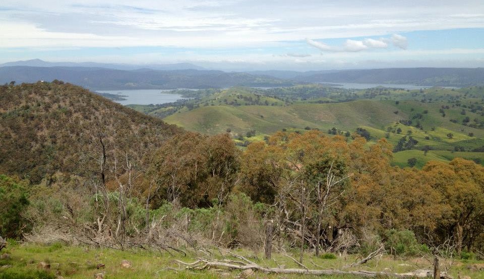
The Paps Scenic Reserve, near Mansfield (Photo: A.Foley)
We noted that The Paps were proposed to be burnt entirely within a three-year period; half in the first year, half in the second, leaving the fauna of that ‘island’ with nowhere to disperse to in the absence of any wildlife corridors. Locals were informed, and took up the case with their local DEPI office, who made alterations to the plans to protect a population of a very rare invertebrate, and will also provide refuge for other wildlife.
We encourage you to review the maps for your region, and apply your local knowledge in examining which areas are going to be burned. You can download the maps for your region here: http://www.depi.vic.gov.au/fire-and-emergencies/planned-burns/fire-operations-plans/draft-fop
For comments to be included in this year’s Plan, they must be returned by 31 August using this form: http://www.depi.vic.gov.au/__data/assets/word_doc/0010/271567/Draft-FOP-feedback-form.docx
You can leave a comment below if you have a specific location that you would like the Trust to review for our submission.
+ There are no comments
Add yours